

Villages of Rashaya District
Awqaf in Kfar Danis
Kfar Danis is a highland agricultural village in Rashaya District, north of Dahr El Ahmar at roughly 1,100–1,130 metres.
About the village
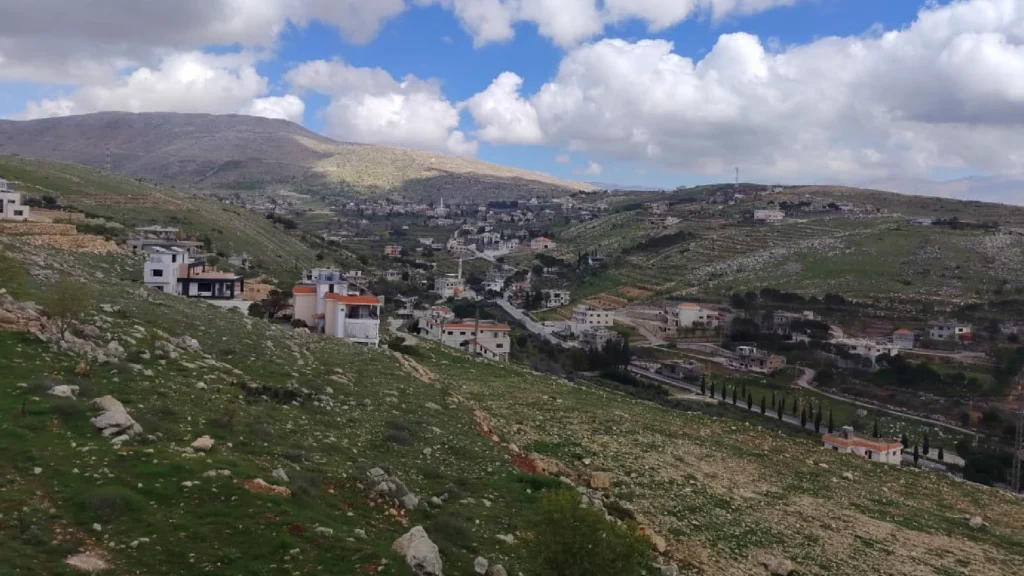
Kfar Danis in Rashaya’s mountain highlands
Kfar Danis is a village in Rashaya District, Beqaa Governorate, north of Dahr El Ahmar in the district’s mountain highlands. It is about 80 km from Beirut, 40 km from Zahle and 8 km from Rashaya; published references place it at roughly 1,100–1,130 metres above sea level.
Local agriculture includes figs, grapes and livestock, particularly cattle, goats and sheep. Local sources also refer to archaeological remains in the surrounding area, including a site known as Qalaat Reiman, although detailed published archaeological documentation is limited.
Waqf properties
The village Waqf registry
Organised public details for endowed assets in this village only. Lease and tenant records remain protected in the administrative registry.
| Property no. | Category | Area | Public description |
|---|---|---|---|
| 386 | Agricultural land | 33 | Agricultural land in Kfardenis, recorded with property no. 386 and an area of 33 m². |
| 953 | Mosque property | 198 | Mosque property in Kfardenis, recorded with property no. 953 and an area of 198 m². |
| 722 | Waqf land | 1860 | Waqf land in Kfardenis, recorded with property no. 722 and an area of 1,860 m². |
| 989 | Burial or cemetery property | 519 | Burial or cemetery property in Kfardenis, recorded with property no. 989 and an area of 519 m². |
| 1107 | Waqf land | 680 | Waqf land in Kfardenis, recorded with property no. 1107 and an area of 680 m². |
| 860 | Waqf building | 138 | Waqf building in Kfardenis, recorded with property no. 860 and an area of 138 m². |
| 388 | Agricultural land | 6110 | Agricultural land in Kfardenis, recorded with property no. 388 and an area of 6,110 m². |
| 990 | Burial or cemetery property | 628 | Burial or cemetery property in Kfardenis, recorded with property no. 990 and an area of 628 m². |
| 952 | Waqf building | 192 | Waqf building in Kfardenis, recorded with property no. 952 and an area of 192 m². |
| 951 | Waqf building | 726 | Waqf building in Kfardenis, recorded with property no. 951 and an area of 726 m². |
| 622 | Agricultural land | 5720 | Agricultural land in Kfardenis, recorded with property no. 622 and an area of 5,720 m². |
| — | Waqf land | — | Waqf land in Kfardenis. |
No matching properties found.
Mosques and imams
Mosques in the village
Each mosque has its own page for its story, photographs and religious staff, connected automatically to this village.
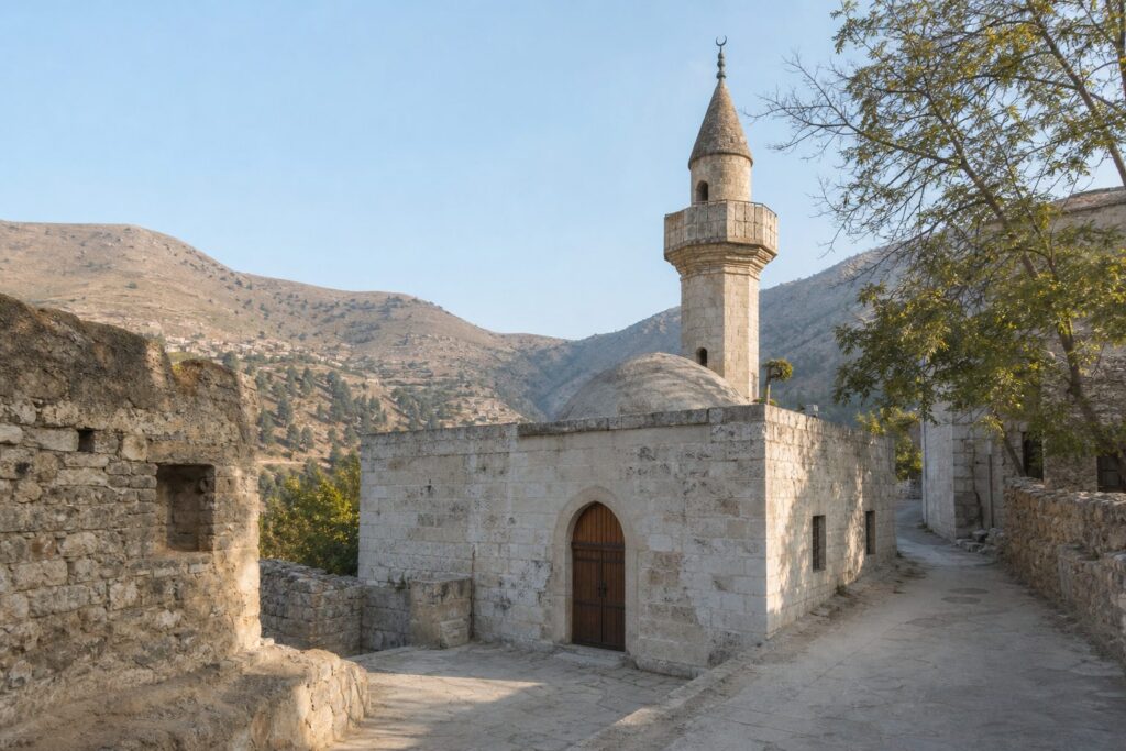
Kfar Danis
Abdullah ibn Masoud Mosque
A mosque in Kfardenis, linked to the profile of its assigned imam in the Rashaya Endowments directory.
Explore the mosque
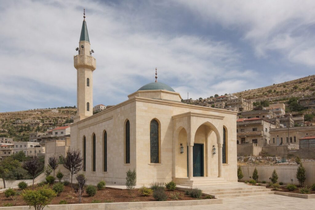
Kfar Danis
Hamza ibn Abd Al-Muttalib Mosque
A mosque in Kfardenis, linked to the profile of its assigned imam in the Rashaya Endowments directory.
Explore the mosque
Productive Awqaf
Awqaf projects that create impact
Turning protected assets into sustainable resources for mosques, Quranic education and community service.
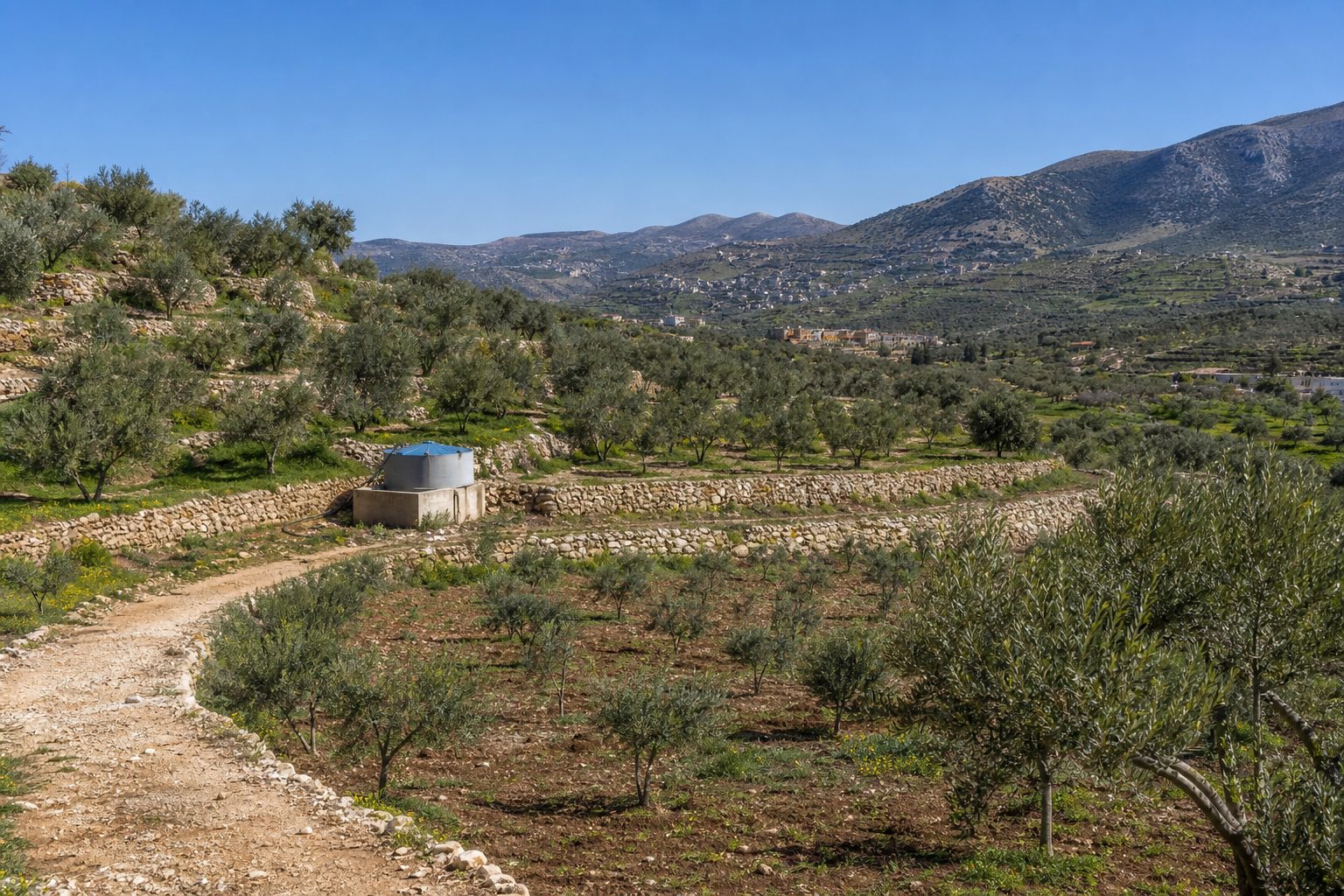
Hamza ibn Abd Al-Muttalib Mosque Endowment Project – Kfardenis
Proceeds support Hamza ibn Abd Al-Muttalib Mosque
Operational, under construction and studying expansion
Rental apartments linked to Hamza ibn Abd Al-Muttalib Mosque, with a shop and apartment under construction and a proposed expansion of three garages and four apartments.
A shop and apartment under construction; 3 garages and 4 apartments proposed Project detailsPhoto archive
Photographs of Kfar Danis
Village and mosque photographs in one accessible archive, filterable by location.
Frequently asked questions
Helpful information
Concise answers about the Directorate’s work in the village and how to take part.
Where is Kfar Danis located?
Kfar Danis is in Rashaya District, Beqaa Governorate, north of Dahr El Ahmar.
How far is Kfar Danis from Beirut?
It is approximately 78 kilometres from Beirut.
What is the elevation of Kfar Danis?
The village stands at roughly 1,130 metres above sea level.
How is Kfar Danis spelled?
English sources commonly use Kfar Danis and Kfardenis; the Arabic name is كفردنيس.
Contribute to the impact
How can you contribute?
Residents, the diaspora and supporters can help mosques, Quran programmes and sustainable Awqaf projects.